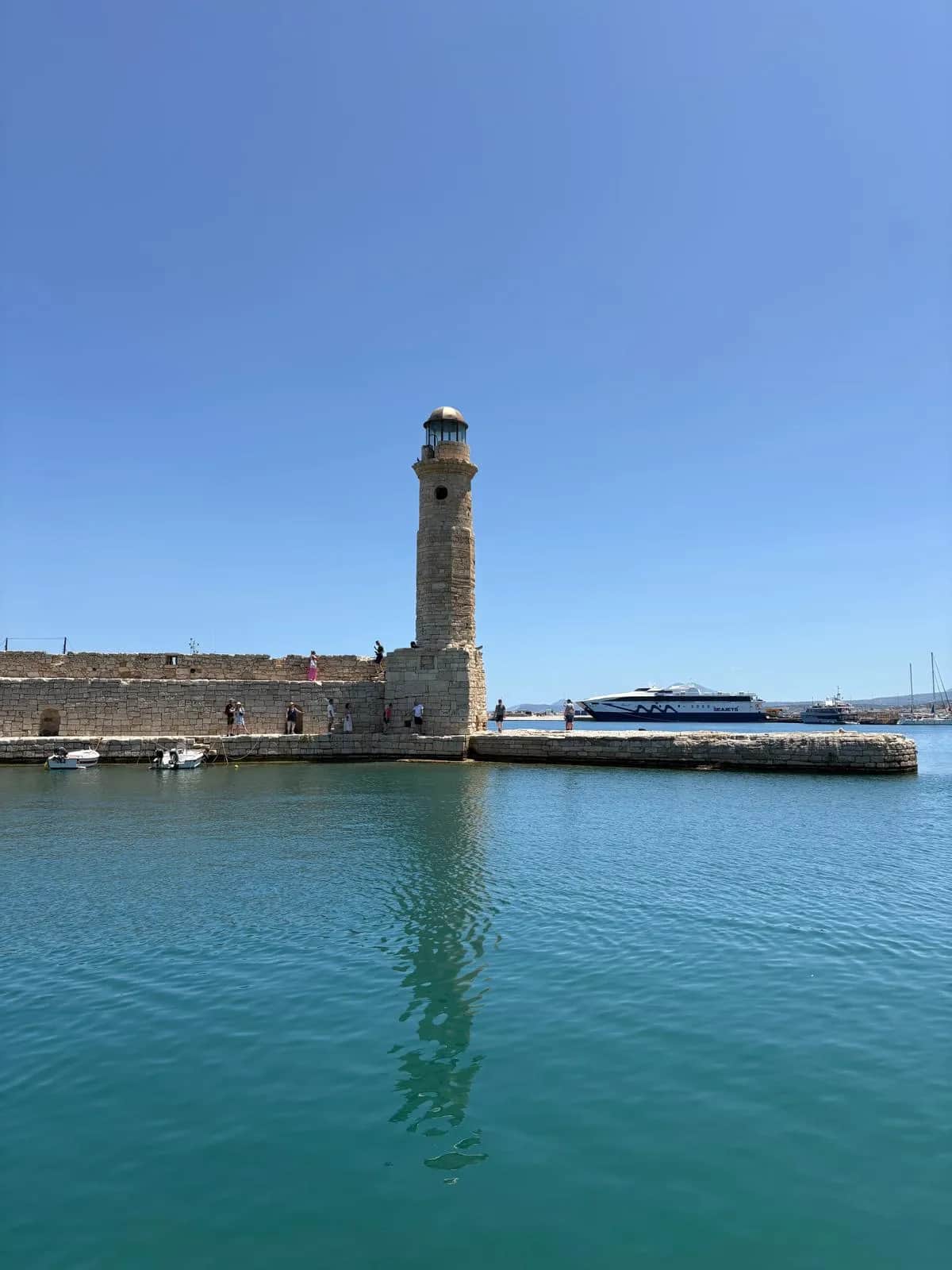
Rethymno sits between Crete's two big cities and gets treated as a stop on the way to either. That is a mistake. The old town is the best-preserved Venetian and Ottoman quarter on the island: a working fortress on Paleokastro hill, a fountain that has poured through carved lion heads since 1626, a 27 m minaret above lanes where cafe tables lean against 400-year-old doorways. East of the marina the sand runs for roughly 13 km. And that is the province's less interesting coast.
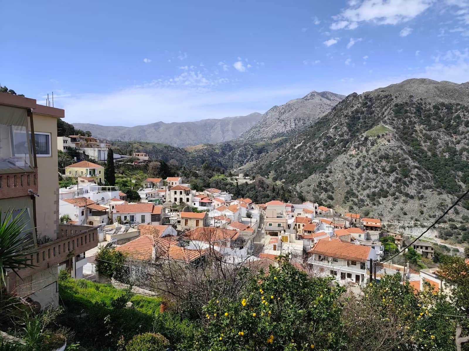
Inland is where Rethymno earns its keep. Arkadi monastery, about 25 km southeast of town, is where hundreds of Cretans blew up their own gunpowder store in November 1866 rather than surrender to the Ottomans; the anniversary, 8 November, is still a solemn national date. Behind it the land climbs to Psiloritis, at 2,456 m the highest mountain in Crete. Anogia hangs off its northern face at 740 m, and shepherds still make cheese in round stone huts, the mitata, up on the Nida plateau.
Then there is the south. The road squeezes through the Kourtaliotiko gorge and drops you onto the Libyan Sea in under an hour: Plakias in its wide bay, a palm-lined river mouth at Preveli, and further east the near-empty sands of Triopetra and Agios Pavlos. Two coasts in one province, barely an hour apart, and most visitors never see the second one.
Towns worth your time
Rethymno old town
Start on Paleokastro hill with the Fortezza, the star-shaped fortress the Venetians built between 1573 and 1580, then lose the map below it. The Rimondi fountain has run through three carved lion heads since 1626; the Neratze mosque, a Venetian church converted in 1657, keeps its 27 m minaret and now works as a music school. Arkadiou and Ethnikis Antistaseos are the shopping streets; Vernardou is the one with the folk-art museum in a 17th-century house. Skip the fish tavernas ringing the Venetian harbour — you are paying for the postcard, and the kitchens know it.
Anogia
A mountain town at 740 m on the north face of Psiloritis, and the home of Cretan music — Nikos Xylouris and Psarantonis were both born here. German troops razed the whole place in August 1944 as a reprisal for the resistance; what you see today was rebuilt, and the memory is worn openly. Come for lunch: lamb antikristo, whole sides staked around an open fire for hours. Then drive up to the Nida plateau at about 1,400 m, below the cave where, the story goes, Zeus was born.
Spili
The halfway stop on the road south, 30 km from town at 430 m, and worth more than the coffee break most people give it. Spring water pours constantly from a long row of Venetian lion-head spouts in the square, and locals still fill bottles there. Come mid-morning on your way to Preveli or Plakias and it is lovely. At midday in summer the coach parties arrive, the plane-tree cafes fill, and the village briefly stops being itself — time your stop around that.
The Amari valley
A green trough between Psiloritis and Mount Kedros, five to six hundred metres up, strung with villages that see almost no tourism. Thronos has 14th-century frescoes in its Panagia church and the remains of ancient Syvritos above it; Monastiraki has an important Minoan site, first dug during the German occupation in 1942; Gerakari grows the sweetest cherries on the island. The valley paid dearly for the resistance — in August 1944 German troops destroyed nine villages here and killed 164 people, reprisals usually tied to the Kreipe kidnapping, though historians still argue the point. Drive the loop slowly, buy cherries in early summer, and expect conversation in Greek.
The coast
Preveli
The famous one: a river mouth about 35 km south of town where the Megas Potamos flows out of the Kourtaliotiko gorge through a grove of native Theophrastus palms — the second-largest palm forest in Crete after Vai. The monastery above sheltered Allied soldiers in 1941, and around 200 of them were taken off this coast by British submarines. It is a steep walk down from the car park. In July and August come before 10am or after 4pm; at midday the lagoon is standing room only.
Triopetra and Agios Pavlos
Named for the three rocks standing offshore, Triopetra lies 52 km south of Rethymno down a paved road from Akoumia: long, mostly empty, with a couple of tavernas that also do rooms. Around Cape Melissa, Agios Pavlos adds sand dunes and a sheltered cove, and the Akoumianos river divides the two. This is the coast for people who think Preveli has become too popular — no beach bars, patchy phone signal, superb swimming.
Plakias
The south coast's one proper resort, set in a wide bay about 35 km from town, and still low-rise and unhurried by north-coast standards. The long beach shelves gently, and quieter coves sit a short drive east. It is the most sensible base for Preveli, 10 km away, and the gorges. Ignore anyone who says Plakias is spoiled; by Cretan resort standards it is restrained.
Rethymno town beach
Roughly 13 km of sand starting at the marina and running east, backed for much of its length by the hotel strip. Shallow, organised, easy with small children, and perfectly fine for an evening swim if you are staying in the old town. Just do not build the holiday around it — the same money buys you the Libyan Sea an hour south.